Hooke’s Law
“Hooke’s Law” is a geological statement relating to the elastic deformation of rocks. Hooke’s Law states the strain of an earth-material is linearly proportional to the applied stress.
“Hooke’s Law” is a geological statement relating to the elastic deformation of rocks. Hooke’s Law states the strain of an earth-material is linearly proportional to the applied stress.

Thermosphere Thermosphere: The thermosphere of a terrestrial planet is the fourth and final member of the atmosphere. On Earth, the thermosphere starts atop the mesosphere at approximately 85 kilometers above mean sea level. The upper limit of the thermosphere is reasonably presumed to terminate approximately 95 kilometers above mean sea level. In fact, most of…
Dip-Slip Fault Dip-Slip Fault: In geology, a dip-slip fault is any fault in which the earth’s movement is parallel with the dip of the fault plane. For example, a normal fault, reverse fault, or listric fault. The opposite of a dip-slip fault is a strike-slip fault.
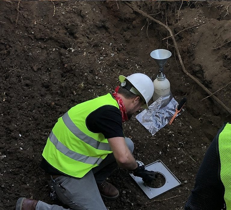
Soil Compaction Testing or Soil Density Testing Soil compaction testing, or soil density testing, is the process by which the density property of a soil mass is increased in the field by various means, and monitored by a professional geologist in accordance with local building department specifications. During the placement of engineered backfill material, density…
Petroleum Extraction Well (Oil Well) Petroleum Extraction Well (Oil Well): A petroleum extraction well, or an oil well, is a deep borehole or shaft sunk into the Earth for the exploration of oil or gas. Additionally, injection wells are often drilled to inject fluids or gas for stimulating oil recovery, re-pressurizing or pressure maintenance of…
Unobstructed Opening Definition in Methane Mitigation Unobstructed Opening: Per the Los Angeles Department of Building and Safety (LADBS) Methane Code, Ordinance Number 175790, an unobstructed opening is a permanent clearance or gap in the walls, floors, or ceiling of a structure, to allow for direct fresh airflow. In methane mitigation plan applications, this does not…
“Test” Definition in Paleontology In the field of paleontology, a subsidiary of geology, the term “test” refers to the external hard part of an invertebrate.