Lithosphere
Lithosphere: The lithosphere comprises the Earth’s crust as well as part of the upper mantle. In fact, the lithosphere is approximately 100 kilometers thick and is relatively strong as compared to the underlying asthenosphere.
Lithosphere: The lithosphere comprises the Earth’s crust as well as part of the upper mantle. In fact, the lithosphere is approximately 100 kilometers thick and is relatively strong as compared to the underlying asthenosphere.

Mineral Assemblages Mineral Assemblages: In the field of geology and the branch of mineralogy, the term “mineral assembles” means the minerals that compose a rock, including the different kinds and their relative abundance.
Porosity (n) “Porosity” (n), in the geological engineering field, is a percentage value that represents the bulk volume of a rock or soil, that is occupied by the void space within. Porosity (n) Formula Porosity (n) = [(Volume of Voids ÷ Total Volume) x 100%]
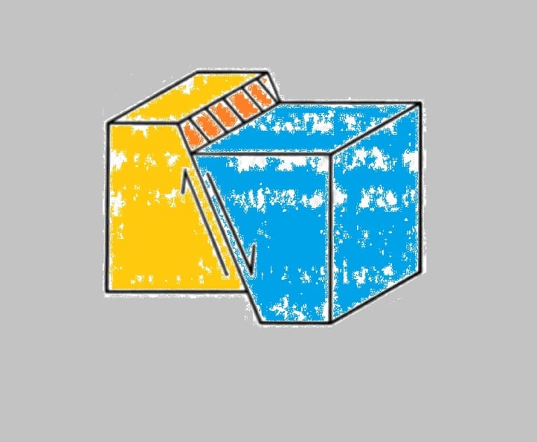
Normal Fault Normal Fault: In the field of geology, a normal fault is a type of dip-slip fault where the hanging wall moves downwards from the footwall. The average dipping angle of a normal fault ranges from 45 to 90 degrees. Normal faults are the opposite of reverse faults. Detachment Fault Detachment Fault: A detachment…
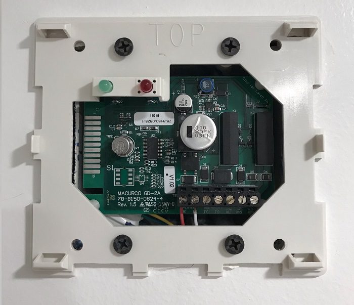
Methane Alarm System Methane Alarm System: As per the Los Angeles Department of Building and Safety (LADBS) Methane Code, Ordinance Number 175790, a methane alarm system is part of an active methane mitigation plan. A methane alarm system is a group of interacting components and circuits that synchronize to monitor and annunciate the status of…
Zeolites Definition In geology, zeolites are a group of hydro-alumino-silicate minerals that are compositionally analogous to the feldspars. Zeolites typically comprise sodium (Na), calcium (Ca), or potassium (K) as chief metals. And zeolites also tend to develop within basalt cavities, lake sediments, oceanic sediments, and volcanic tuff. Modern Economical uses of the Zeolites Modernly, zeolites…
Liquid Limit (LL) “Liquid Limit (LL)” in the field of geological engineering, refers to the upper limit of the “plastic state.” This is a separation of the plastic phase and viscous liquid phase when measuring soil consistency. Mathematically, it is the water content (basing on the percent of dry weight), at which two sections of…