Oblique-Slip Fault
Oblique-Slip Fault: In geology, an oblique-slip fault is a fault that moves parallel to the strike or dip of the fault plane.
Oblique-Slip Fault: In geology, an oblique-slip fault is a fault that moves parallel to the strike or dip of the fault plane.

Wing Dam or Wing Dike A “Wing Dam” or “Wing Dike” refers to a dam that intentionally retains a fraction of the width of a flowing water source. Unlike a conventional dam, a wind dam aims to divert the path of water flow. Additionally, a wing dike can control the velocity of water flow. For…
Cation Cation: In the fields of chemistry and geochemistry, a cation is a positively charged ion. The oppositely charged ion is an anion.
Provenance Provenance: In the field of geology, and the branch of geomorphology, the term “provenance” means the place of origin from which the constituent materials of sedimentary rock or facies are derived.
Tsunami Tsunami: In the seismology branch of geology, a tsunami is an oceanic wave (gravitational) that is produced by seismic activity on the ocean floor. Common triggers of tsunamis are large-scale short duration earthquakes, volcanic eruptions, or other submarine earth movements such as subsidence and slope failure.
Troposphere Troposphere: The troposphere of a terrestrial planet is the lowest member of the atmosphere. On Earth, the troposphere starts atop the ground surface and terminates roughly 10 kilometers above mean sea level. In fact, geologists understand that most of the Earth’s water vapor (clouds) exists in the troposphere. And the next member of the…
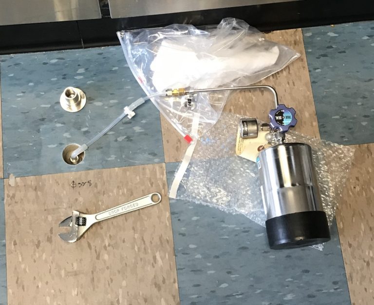
Methane Mitigation Soil Gas Pressure Sensor Methane Mitigation Soil Gas Pressure Sensor: A Methane Mitigation Soil Gas Pressure Sensor is a device that measures and communicates sub-slab soil gas pressure to a methane control panel system. High levels of methane soil gas then trigger the integrated methane alarm system to notify occupants of danger. Much…