Twinning Definition
Twinning is the observed intergrowth of multiple crystals in a symmetrical fashion. This term applies to the examination of rock thin sections, in the field of optical mineralogy.
Twinning is the observed intergrowth of multiple crystals in a symmetrical fashion. This term applies to the examination of rock thin sections, in the field of optical mineralogy.

Engineering Geology or Geological Engineering Engineering Geology: Engineering geology is also referred to as “geological engineering,” and is a branch of geology that relates to the study of earth materials and processes, that are juxtaposed to proposed structures such as buildings, retaining walls, dams, roads, pipelines, and more. Whereby geologists assess any potential levels of…
Soil Compaction Testing or Soil Density Testing Soil compaction testing, or soil density testing, is the process by which the density property of a soil mass is increased in the field by various means, and monitored by a professional geologist in accordance with local building department specifications. During the placement of engineered backfill material, density…
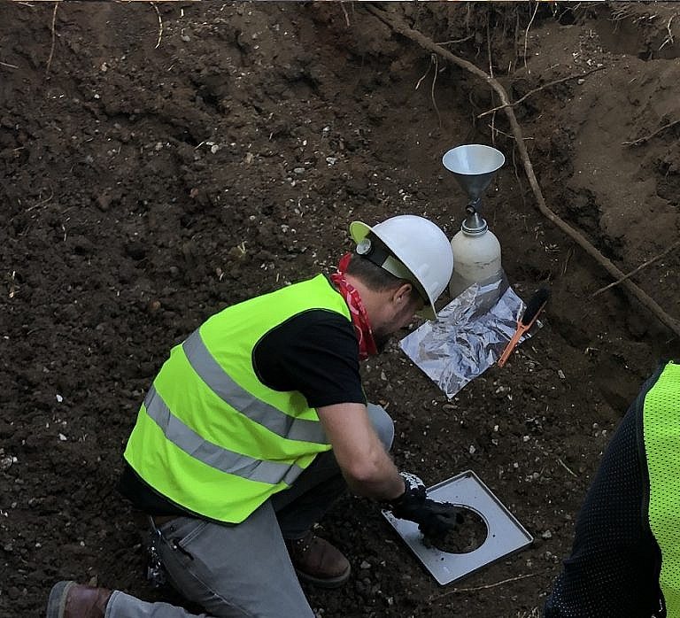
Permeability “Permeability” in engineering geology and geotechnical engineering refers to the property of a soil sample (or porous rock) which relates to transmitting a fluid within. Permeability measures the relative case of flow under unequal pressure. Permeability is calculated using Darcy’s Law.
Hooke’s Law “Hooke’s Law” is a geological statement relating to the elastic deformation of rocks. Hooke’s Law states the strain of an earth-material is linearly proportional to the applied stress.
Strike-Slip Fault or Transform Fault Strike-Slip Fault (Transform Fault): In the field of geology, a strike-slip fault, or a transform fault, is a fault in which movement is parallel to the strike of the fault plane. The opposite of a strike-slip fault is a dip-slip fault. Left-Lateral or Right-Lateral Strike-Slip Fault A transform fault can…
Listric Fault Listric Fault: In the field of geology, a listric fault refers to a fault with a curved fault plane. Most listric faults comprise a steeply dipping section near the surface. But the fault plane becomes increasingly flat with depth. Listric faults can be normal faults or reverse faults.