Direct Shear Test
A Direct Shear Test is a geotechnical engineering laboratory procedure that measures the shear strength value of a soil sample.
A Direct Shear Test is a geotechnical engineering laboratory procedure that measures the shear strength value of a soil sample.

Moment Magnitude (M) Moment Magnitude (M): In the seismology branch of geology, moment magnitude is the magnitude of an earthquake that scientists estimate by using the Seismic Moment.
Wing Dam or Wing Dike A “Wing Dam” or “Wing Dike” refers to a dam that intentionally retains a fraction of the width of a flowing water source. Unlike a conventional dam, a wind dam aims to divert the path of water flow. Additionally, a wing dike can control the velocity of water flow. For…
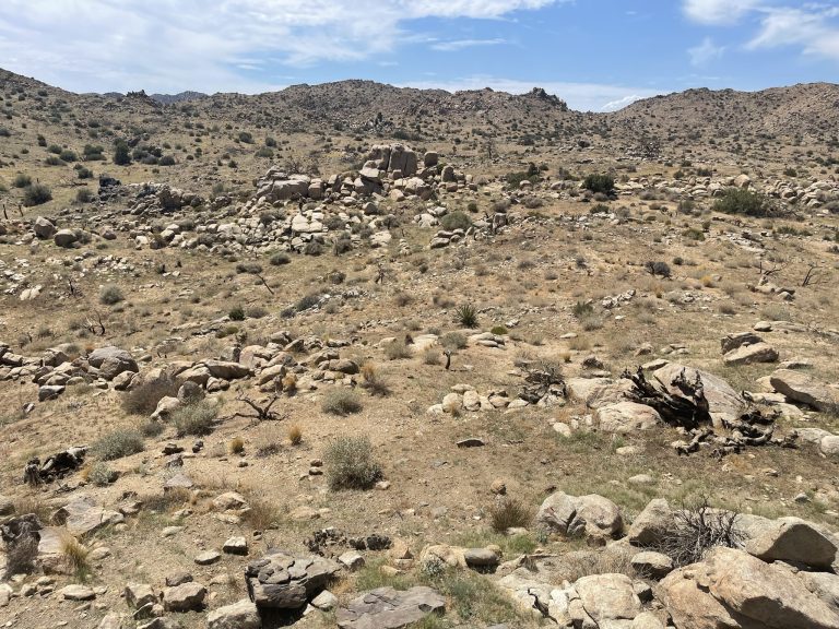
Geology Geology: Geology is a field of science relating to the earth, including but not limited to the earth’s resources, physical processes, chemical properties, history, and future. Additionally, the science of geology includes the study of other terrestrial planets, such as Mercury, Venus, or Mars. Branches of Geology There are numerous branches of geology that…
Environmental Professional Definition Environmental Professional: As per the EPA’s All Appropriate Inquiries Rule, an environmental professional is an environmental consultant that has an accredited education in earth or natural science, at least five years of formal training under another environmental professional, a professional state license, and maintains expert knowledge in the environmental geology, sustainability, and…
Hydraulic Conductivity (K) “Hydraulic Conductivity” (K), in hydrogeology and hydrology, represents the capacity of a porous medium (such as soil) to transmit water, as per Darcy’s Law. To illustrate, the rate at which fluid can move through a permeable medium (such as soil), depends on the properties of that soil (such as intrinsic permeability) and…
Total Petroleum Hydrocarbons (TPH) Total Petroleum Hydrocarbons (TPH): The term “Total Petroleum Hydrocarbons” represents the complete carbon chain of hydrocarbon compounds that originate from petroleum. In general there are three ranges of TPH: Gasoline Range Total Petroleum Hydrocarbons (TPH-g); Diesel Range Total Petroleum Hydrocarbons (TPH-d); and Oil Range Total Petroleum Hydrocarbons (TPH-o). Gasoline range TPH represents the…
