
“Test” Definition in Paleontology
In the field of paleontology, a subsidiary of geology, the term “test” refers to the external hard part of an invertebrate.
In the field of paleontology, a subsidiary of geology, the term “test” refers to the external hard part of an invertebrate.

Hydrogen Sulfide Soil Gas (In Natural Gas) Hydrogen Sulfide: Hydrogen sulfide (H2S) soil gas geologically occurs upon the thermal and microbial decomposition of subsurface organic material deposits. It is typically identifiable in biogenic and petrogenic natural gas sources, along with higher concentrations of methane soil gas. Additionally, nitrogen, oxygen, hydrogen, ethane, and isobutane exist within…
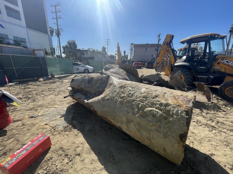
Underground Storage Tank (UST) Underground Storage Tank (UST): An underground storage tank (UST) is a confined container occupying any volume of space within the subsurface, for the purposes of storing liquid. Underground tanks typically support commercial and residential services and have filling ports, ventilation pipes, and connecting product pipelines. Underground storage tanks (USTs) come in different…
Surface-Wave Magnitude “Surface-Wave Magnitude” is the magnitude of an earthquake that scientists estimate using measurements of the amplitude of surface waves.
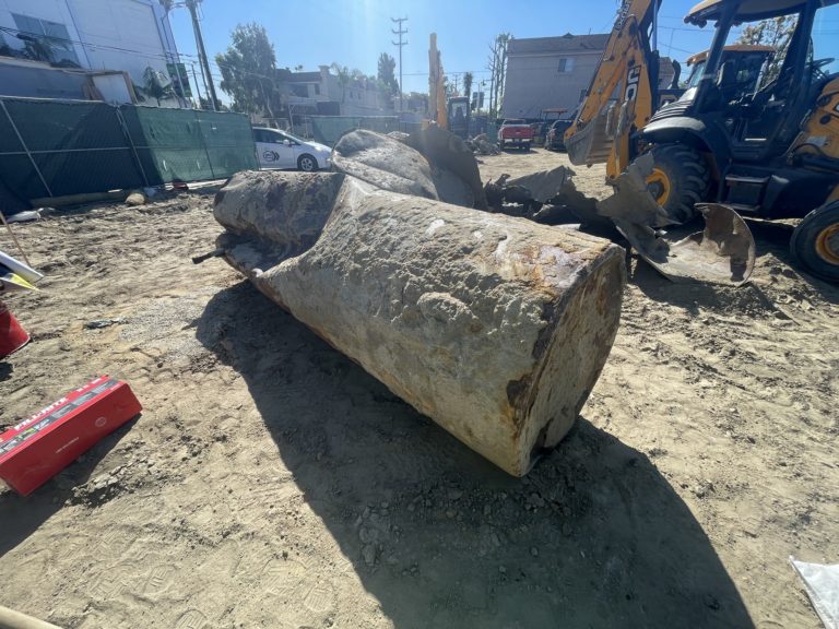
Leaking Underground Storage Tank (UST) Leaking Underground Storage Tank (LUST): A leaking underground storage tank (LUST) is a known case of hazardous liquid materials released into the environment, from within an underground storage tank (UST) source. The term “LUST” commonly applies to gasoline station soil contamination cases overseen by environmental regulatory agencies. Also See: Underground…
De-Watering System in Methane Mitigation De-Watering: In accordance with the Los Angeles Department of Building and Safety (LADBS) Methane Code, Ordinance Number 175790, a de-watering system is a permanent water removal system in a methane mitigation system. In the mitigation process, a de-watering system consists of perforated horizontal pipes, gravel pockets, sump areas with pumps,…
Fault Scarp Fault Scarp: In the field of geology, a dip-slip fault scarp is a steep slope that is formed directly by fault movement. It occurs along the line of a normal fault, reverse fault, or transform fault. A fault scarp represents the planer surface of the fault before erosion and weathering modify it.