Surface-Wave Magnitude
“Surface-Wave Magnitude” is the magnitude of an earthquake that scientists estimate using measurements of the amplitude of surface waves.
“Surface-Wave Magnitude” is the magnitude of an earthquake that scientists estimate using measurements of the amplitude of surface waves.

Gravel Blanket in Methane Mitigation A gravel blanket is a 2-inch or 4-inch thick layer of gravel, sand, or approved material that transmits methane soil gas to the horizontal sub-slab perforated pipes and verticle vent riser of a passive methane mitigation system.
Index Fossil Definition An Index fossil, in the field of paleontology, refers to a fossil that identifies and dates the stratigraphic unit that it is observed to exist in. Index fossils can combine a wide geographic range. And they can really narrow down the classifications of most stratigraphic units.
Potentiometric Surface The term “Potentiometric Surface” means the hydrogeological surface that represents the total hydraulic head of groundwater from a confined aquifer or semi-confined aquifer that’s under pressure. The Potentiometric Surface of an aquifer is defined by the level to which water will rise in a groundwater monitoring well (that’s exclusively screened within said aquifer).
U-Shaped Kitchen U-Shaped Kitchen: A U-shaped kitchen, or a horseshoe kitchen, is a general kitchen plan layout with counters, walls, and cabinets that generally form a square-like or rectangular-like shape of the letter “u.” In the State of California (and other states with similar building code standards), U-shaped kitchens must have a minimum of 60-inches…
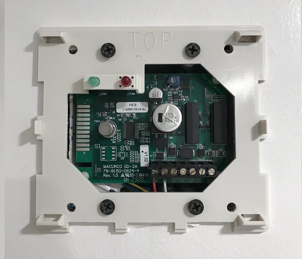
Single Station Methane Gas Detector Single Station Methane Gas Detector: As per the Los Angeles Department of Building and Safety (LADBS) Methane Code, Ordinance Number 175790, a single station methane gas detector is a device consisting of electrical components that are capable of measuring methane soil gas concentrations indoors, and initiating an alarm. The single…
Natural Gas Natural Gas: In geology, natural gas means combustible hydrocarbon gas that forms by natural geological or biological processes. To illustrate, natural gas that forms by geological processes is the thermal decomposition of buried organic materials. Whereas natural gas that forms via biological processes entail the microbial decomposition of buried organic material. Natural gas…