Perched Groundwater
Perched Groundwater – In geology, “perched groundwater” refers to unconfined groundwater which separates from an underlying body of groundwater by an unsaturated zone or vadose zone.
Perched Groundwater – In geology, “perched groundwater” refers to unconfined groundwater which separates from an underlying body of groundwater by an unsaturated zone or vadose zone.

Subsidence “Subsidence” is a geologic condition, in which a localized mass movement occurs, resulting in the downward settlement of the earth over time. When subsidence occurs, the actual ground surface elevation is lower. This occurrence of the ground surface sinking is typically caused by groundwater table and aquifer reductions, by which the soils become more…
Listric Fault Listric Fault: In the field of geology, a listric fault refers to a fault with a curved fault plane. Most listric faults comprise a steeply dipping section near the surface. But the fault plane becomes increasingly flat with depth. Listric faults can be normal faults or reverse faults.
Permeability “Permeability” in engineering geology and geotechnical engineering refers to the property of a soil sample (or porous rock) which relates to transmitting a fluid within. Permeability measures the relative case of flow under unequal pressure. Permeability is calculated using Darcy’s Law.
Plutonic Rock (Igneous) Definition The term “Plutonic” in the field of geology refers to an igneous rock, wherein the magma had originally cooled, solidified, and crystalized underground. A plutonic rock is generally coarsely crystalline (phaneritic) and is formed during a massive geologic intrusion of magma. In fact, outcropping (or daylighting) plutonic rocks are geologic features…
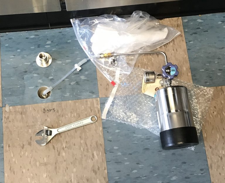
Methane Mitigation Soil Gas Pressure Sensor Methane Mitigation Soil Gas Pressure Sensor: A Methane Mitigation Soil Gas Pressure Sensor is a device that measures and communicates sub-slab soil gas pressure to a methane control panel system. High levels of methane soil gas then trigger the integrated methane alarm system to notify occupants of danger. Much…
De-Watering System in Methane Mitigation De-Watering: In accordance with the Los Angeles Department of Building and Safety (LADBS) Methane Code, Ordinance Number 175790, a de-watering system is a permanent water removal system in a methane mitigation system. In the mitigation process, a de-watering system consists of perforated horizontal pipes, gravel pockets, sump areas with pumps,…
