Total Petroleum Hydrocarbons (TPH)

Total Petroleum Hydrocarbons (TPH)

Total Petroleum Hydrocarbons (TPH): The term “Total Petroleum Hydrocarbons” represents the complete carbon chain of hydrocarbon compounds that originate from petroleum. In general there are three ranges of TPH: Gasoline Range Total Petroleum Hydrocarbons (TPH-g); Diesel Range Total Petroleum Hydrocarbons (TPH-d); and Oil Range Total Petroleum Hydrocarbons (TPH-o). Gasoline range TPH represents the lighter end of the carbon chain, particularly from C-6 to C-12. Whereas oil range TPH represents the heavier end of the carbon chain, from C-29 to C-40. And in the middle, lies diesel range TPH, from roughly C-13 through C-28.

Soil & Groundwater Contamination of Total Petroleum Hydrocarbons+

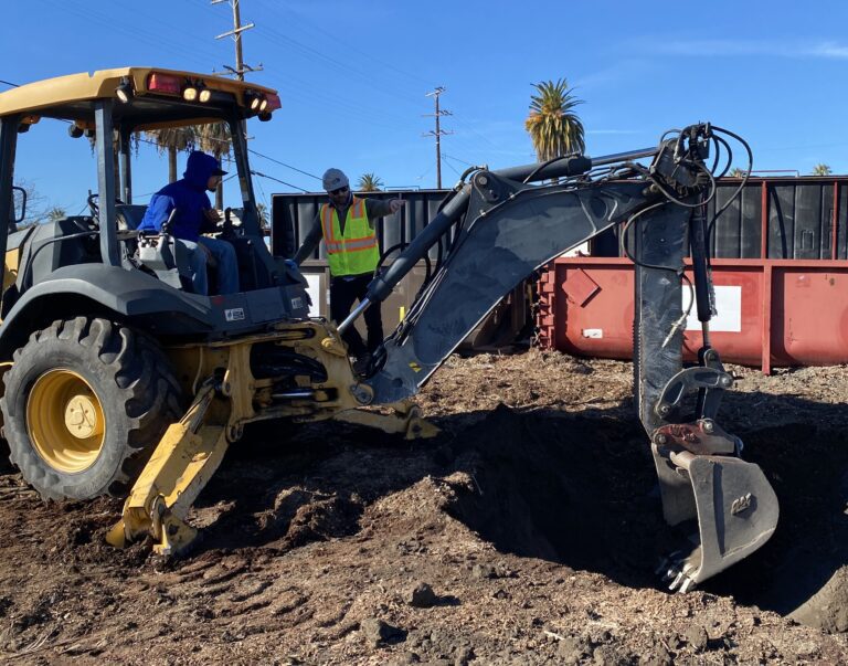
During a Phase 1 Environmental Site Assessment, an environmental professional may identify a history of gasoline station underground storage tanks (USTs). The potential for leaking USTs is a “recognized environmental condition” per the ASTM E1527 standard. Thus, a recommendation for Phase 2 Environmental Site Assessment is in order. Soil contamination testing entails soil sample analysis via Environmental Protection Agency (EPA) Method 8015M, for the full Carbon Chain of Total Petroleum Hydrocarbons. And a professional geologist compares detections of each gasoline, diesel, and oil range hydrocarbon with the applicable screening level. For instance, Maximum Soil Screening Levels (MSLs).


Similar Posts

  • Seismology

    Seismology Seismology: (seis·mol·o·gy) a branch of geology and geophysics that relates to earthquakes, including but not limited to their causes, effects, hazards, and mitigation techniques.  Seismologists at the United States Geological Survey (USGS) use cutting-edge technology to measure seismic wave properties and geological hazards that trigger them or are triggered by them. In turn, seismology…

  • Poorly Graded

    Poorly Graded Soil Poorly Graded: In the soil classification process of geology, poorly graded soil represents a sedimentary soil sample that only displays one or a few of the numerous other possible grain sizes for that soil classification, in accordance with the Unified Soil Classification System (USCS). For example, a poorly graded sand (SP) may…

  • |

    Geologic Time Scale

    Geologic Time Scale The Geologic Time Scale is an international system used by geologists to classify and identify major geologic events and formations. The geologic timescale essentially categories the earth’s entire geologic (and biologic) history, within a series of defined eons, eras, periods, epochs, and ages. Updates & Maintenance The geologic time scale is continuously…

  • Lithosphere

    Lithosphere Lithosphere: The lithosphere comprises the Earth’s crust as well as part of the upper mantle. In fact, the lithosphere is approximately 100 kilometers thick and is relatively strong as compared to the underlying asthenosphere.

  • Unobstructed Opening in Methane Mitigation

    Unobstructed Opening Definition in Methane Mitigation Unobstructed Opening: Per the Los Angeles Department of Building and Safety (LADBS) Methane Code, Ordinance Number 175790, an unobstructed opening is a permanent clearance or gap in the walls, floors, or ceiling of a structure, to allow for direct fresh airflow. In methane mitigation plan applications, this does not…