Geology of Northern Salt Lake City, Utah
This post summarizes the basic geology of the northern region of Salt Lake City, Utah. Some geological and hydrogeological data may be incomplete or pending review. Nonetheless, students, geologists, and earth scientists are welcome to openly use, critique, and contribute information. To do so, please refer to the comments function below. Ultimately, all post data is subject to review by a professional geologist. Updated July 28, 2021.
Study Area Map
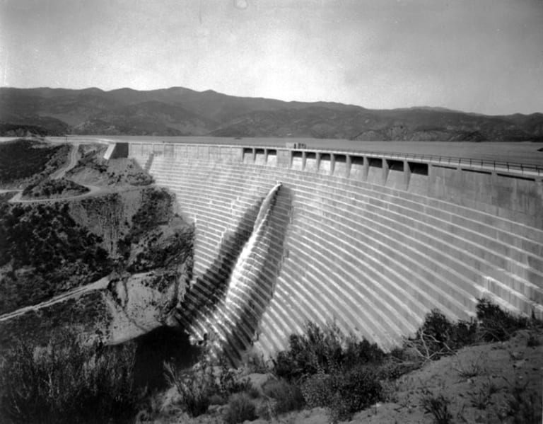
The study area sits within the Salt Lake City North, Utah Quadrangle of the United States Geological Survey (USGS) 7.5-minute topographic map. In fact, this post targets the northern hillside and basin areas of Salt Lake City.
The study area sits at an elevation of 4,000 feet above mean sea level, within the northern portion of the Salt Lake Valley.
Geology of the Salt Lake Valley
The Salt Lake Valley structural basin comprises sedimentary formations of the Cenozoic age. Two blocks surround the basin, in the form of uplift. These are the Oquirrh Mountains on the west and the Wasatch Range on the east (Hintze, 1980 and 1993). The southeast shore of the Great Salt Lake borders the northern side of the Salt Lake Valley. And the easternmost expression of the basin and range extension in north‐central Utah is the Wasatch Range.
Local Geology of Northern Salt Lake City, Utah
The shallow subsurface of Salt Lake Valley comprises sedimentary geologic units as young as 30,000 years. These are presumably lakebed deposits of the Lake Bonneville and Great Salt Lake bodies (Scott et al., 1983).
Theoretically, these lakes formed large deltas at the mouths of the canyons during the recessions. For instance, the canyons of the Wasatch Range demonstrate shallow geology indicative of lake and marsh deposit erosions. And these instances display as a series of recessional deltas and alluvial fans. And the sediments toward the center of the valley are mostly deepwater lake deposits. For instance, these areas show an abundance of fine-grain sands, silts, and clays. These “deepwater” deposits are overlain by the Bonneville alluvium (McCoy, 1983).
Areas Around the Bonneville Shoreline
The areas that are below the Bonneville shoreline primarily comprise deposits with coarse grains of sand and gravel, along with silt and clay. There are also outcrops of sedimentary bedrock (Van Horn, 1982). According to geological maps of the area, the ground surface of these areas comprises Holocene and Pleistocene age lake gravels. USGS map sources also categorize the lake gravel as a light gray mixture of cobble and gravel, as well as sands and silts.
Fault Activity
The Subject Area comprises a series of active fault zones and tributary faults that relate to active faults. An active fault is typically a normal fault, reverse fault, or transform fault that displays evidence of movement in the past 10,000 years. The study area includes the Wasatch Fault Zone. The Wasatch Fault Zone trends along the western flank of the Wasatch Mountains, in the north/south orientation. The part of the Wasatch Fault Zone that intersects Salt Lake City is active by today’s standards and poses a seismic risk. Earthquakes and seismic activity are estimated to occur approximately every 1,300 years, with the most recent rupture occurring about 1,100 years ago. Seismologic data from the Wasatch Front indicates the Wasatch Fault Zone is a likely location of epicenters and hypocenters of earthquakes in the region.

Sources
Hintze, 1980, Geologic Map of Utah: Utah Geological and Mineral Survey Map‐A‐1.
McCoy, Scott, Shorba, and Meyer, 1983, Reinterpretation of the Exposed Record of the Last Two Cycles of Lake Bonneville, Western United States: Quaternary Research, v.20, p. 261‐285.
Utah Geological Survey (UGS) Fault & Fold Map Database
Van Horn, 1982, Surficial Geologic Map of the Salt Lake City North Quadrangle, Davis and Salt Lake Counties, Utah, USGS Map I‐1404.